View from the footpath to Shottenden
Introduction
The photograph on this page of View from the footpath to Shottenden by Marathon as part of the Geograph project.
The Geograph project started in 2005 with the aim of publishing, organising and preserving representative images for every square kilometre of Great Britain, Ireland and the Isle of Man.

There are currently over 7.5m images from over 14,400 individuals and you can help contribute to the project by visiting https://www.geograph.org.uk
View from the footpath to Shottenden
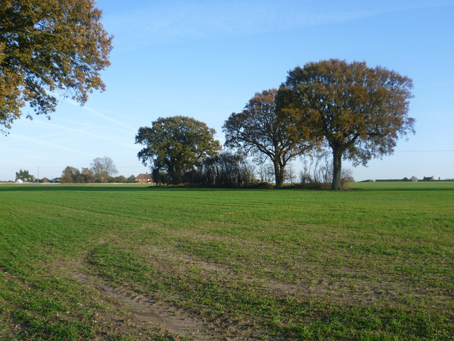
Image: © Marathon Taken: 16 Nov 2013
This view is from the footpath between Wytherling Court and Denne Manor Lane. Denne Manor Farm is on the extreme right and the houses to the left of the trees are along Denne Manor Lane.
Images are licensed for reuse under creativecommons.org/licenses/by-sa/2.0
Image Location
Latitude
51.245376
Longitude
0.920486