Waun-Tysswg Farm
Introduction
The photograph on this page of Waun-Tysswg Farm by Robin Drayton as part of the Geograph project.
The Geograph project started in 2005 with the aim of publishing, organising and preserving representative images for every square kilometre of Great Britain, Ireland and the Isle of Man.

There are currently over 7.5m images from over 14,400 individuals and you can help contribute to the project by visiting https://www.geograph.org.uk
Waun-Tysswg Farm
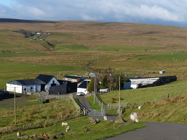
Image: © Robin Drayton Taken: 22 Nov 2013
An upland farm surrounded by high moorland on three sides. In 1768 a Welsh circulating school, where adults and children were taught to read in Welsh, was held here. The small farm in the distance is Cwm-Tysswg.
Images are licensed for reuse under creativecommons.org/licenses/by-sa/2.0
Image Location
Latitude
51.751811
Longitude
-3.24868