Demolition rubble on site of Haywood School
Introduction
The photograph on this page of Demolition rubble on site of Haywood School by SK53 as part of the Geograph project.
The Geograph project started in 2005 with the aim of publishing, organising and preserving representative images for every square kilometre of Great Britain, Ireland and the Isle of Man.

There are currently over 7.5m images from over 14,400 individuals and you can help contribute to the project by visiting https://www.geograph.org.uk
Demolition rubble on site of Haywood School
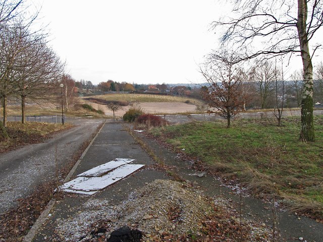
Image: © SK53 Taken: 4 Jan 2011
Haywood School was demolished not long after it was closed. Currently (2013) there are informal planning guidelines for it to be redeveloped for housing (see Evening Post story http://www.nottinghampost.com/Plans-100-family-homes-Sherwood-school-site-step/story-16559833-detail/story.html ). The Southern part of the site is on the line of Nottingham Suburban Railway.
Images are licensed for reuse under creativecommons.org/licenses/by-sa/2.0
Image Location
Latitude
52.993982
Longitude
-1.150448