Audenshaw: Street-running Metrolink
Introduction
The photograph on this page of Audenshaw: Street-running Metrolink by Dr Neil Clifton as part of the Geograph project.
The Geograph project started in 2005 with the aim of publishing, organising and preserving representative images for every square kilometre of Great Britain, Ireland and the Isle of Man.

There are currently over 7.5m images from over 14,400 individuals and you can help contribute to the project by visiting https://www.geograph.org.uk
Audenshaw: Street-running Metrolink
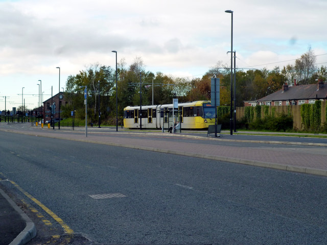
Image: © Dr Neil Clifton Taken: 22 Nov 2013
Between Clayton Hall and beyond Audenshaw, Metrolink's latest extension is mostly street-running along wide roads. Here a car bound for Ashton is seen just east of the Audenshaw stop.
Images are licensed for reuse under creativecommons.org/licenses/by-sa/2.0
Image Location
Latitude
53.478206
Longitude
-2.128788