Former tramway at the quarries above Llangattock
Introduction
The photograph on this page of Former tramway at the quarries above Llangattock by Gordon Hatton as part of the Geograph project.
The Geograph project started in 2005 with the aim of publishing, organising and preserving representative images for every square kilometre of Great Britain, Ireland and the Isle of Man.

There are currently over 7.5m images from over 14,400 individuals and you can help contribute to the project by visiting https://www.geograph.org.uk
Former tramway at the quarries above Llangattock
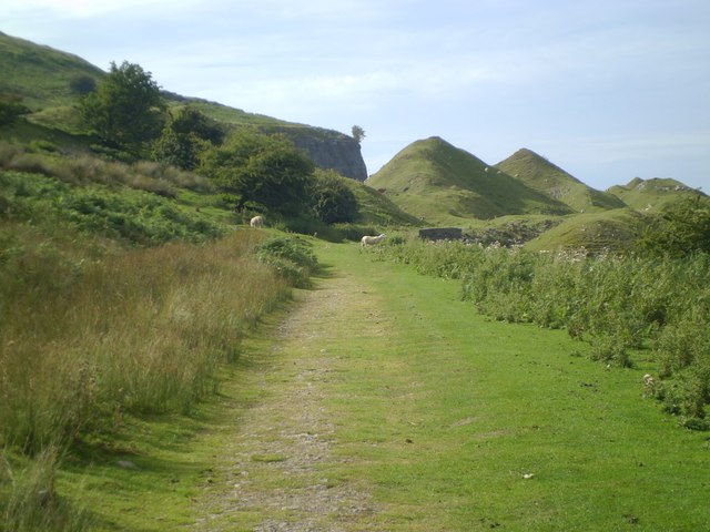
Image: © Gordon Hatton Taken: 4 Sep 2013
There are several trackways leading into the huge former limestone quarries here, whilst the tarmac road down below looks suspiciously level as it was also part of the tramway system which took limestone either down to the canal or around the eastern end of the hill towards Brynmawr.
Images are licensed for reuse under creativecommons.org/licenses/by-sa/2.0
Image Location
Latitude
51.831633
Longitude
-3.154088