Close up of Shottenden village sign
Introduction
The photograph on this page of Close up of Shottenden village sign by Marathon as part of the Geograph project.
The Geograph project started in 2005 with the aim of publishing, organising and preserving representative images for every square kilometre of Great Britain, Ireland and the Isle of Man.

There are currently over 7.5m images from over 14,400 individuals and you can help contribute to the project by visiting https://www.geograph.org.uk
Close up of Shottenden village sign
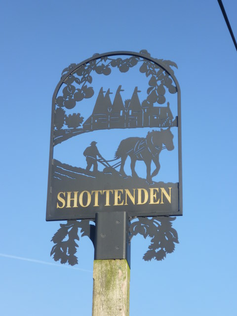
Image: © Marathon Taken: 16 Nov 2013
Farming and hops are clearly the main activities at Shottenden, judging by the village sign. Oast houses surrounded by hops are at the top and the traditional horse and plough at the bottom. For the sign's setting see http://www.geograph.org.uk/photo/3752487
Images are licensed for reuse under creativecommons.org/licenses/by-sa/2.0
Image Location
Latitude
51.250736
Longitude
0.929138