Brynrhos Chapel at the eastern edge of Groeslon
Introduction
The photograph on this page of Brynrhos Chapel at the eastern edge of Groeslon by Christine Johnstone as part of the Geograph project.
The Geograph project started in 2005 with the aim of publishing, organising and preserving representative images for every square kilometre of Great Britain, Ireland and the Isle of Man.

There are currently over 7.5m images from over 14,400 individuals and you can help contribute to the project by visiting https://www.geograph.org.uk
Brynrhos Chapel at the eastern edge of Groeslon
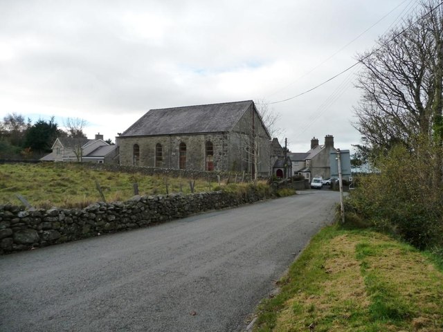
Image: © Christine Johnstone Taken: 17 Nov 2013
A Calvanistic Methodist chapel, founded in 1880. The ornate building just visible beyond is the former schoolroom.
Images are licensed for reuse under creativecommons.org/licenses/by-sa/2.0
Image Location
Latitude
53.074382
Longitude
-4.271869