Llangyfelach School
Introduction
The photograph on this page of Llangyfelach School by Adrian Dust as part of the Geograph project.
The Geograph project started in 2005 with the aim of publishing, organising and preserving representative images for every square kilometre of Great Britain, Ireland and the Isle of Man.

There are currently over 7.5m images from over 14,400 individuals and you can help contribute to the project by visiting https://www.geograph.org.uk
Llangyfelach School
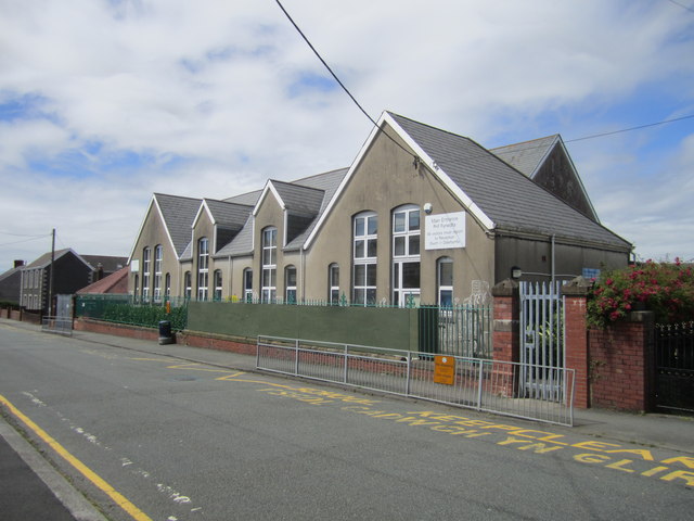
Image: © Adrian Dust Taken: 23 Jul 2012
The school once had a dome on the roof which was used by the Ordnance Survey as a 3rd Order Triangulation Point (Intersected Station SN80/INT015)
Images are licensed for reuse under creativecommons.org/licenses/by-sa/2.0
Image Location
Latitude
51.673013
Longitude
-3.956031