OS benchmark - 187 Parkfield Road
Introduction
The photograph on this page of OS benchmark - 187 Parkfield Road by Richard Law as part of the Geograph project.
The Geograph project started in 2005 with the aim of publishing, organising and preserving representative images for every square kilometre of Great Britain, Ireland and the Isle of Man.

There are currently over 7.5m images from over 14,400 individuals and you can help contribute to the project by visiting https://www.geograph.org.uk
OS benchmark - 187 Parkfield Road
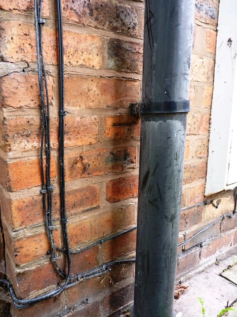
Image: © Richard Law Taken: 13 Aug 2013
Not the greatest photo in the world, but the observant will pick out the benchmark cut into the course of bricks immediately below the downpipe bracket. This was originally levelled at 152.266m above Ordnance Datum Newlyn.
Images are licensed for reuse under creativecommons.org/licenses/by-sa/2.0
Image Location
Latitude
52.566966
Longitude
-2.113571