A478 approaching Crymych
Introduction
The photograph on this page of A478 approaching Crymych by Martyn Harries as part of the Geograph project.
The Geograph project started in 2005 with the aim of publishing, organising and preserving representative images for every square kilometre of Great Britain, Ireland and the Isle of Man.

There are currently over 7.5m images from over 14,400 individuals and you can help contribute to the project by visiting https://www.geograph.org.uk
A478 approaching Crymych
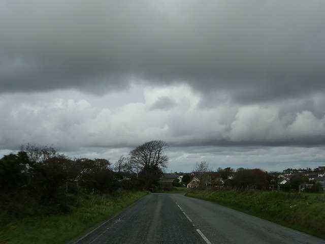
Image: © Martyn Harries Taken: 9 Nov 2013
This section of the A478 approaching Crymych, is just within the grid square.
Images are licensed for reuse under creativecommons.org/licenses/by-sa/2.0
Image Location
Latitude
51.966229
Longitude
-4.650819