A465 improvements looking eastwards
Introduction
The photograph on this page of A465 improvements looking eastwards by Robin Drayton as part of the Geograph project.
The Geograph project started in 2005 with the aim of publishing, organising and preserving representative images for every square kilometre of Great Britain, Ireland and the Isle of Man.

There are currently over 7.5m images from over 14,400 individuals and you can help contribute to the project by visiting https://www.geograph.org.uk
A465 improvements looking eastwards
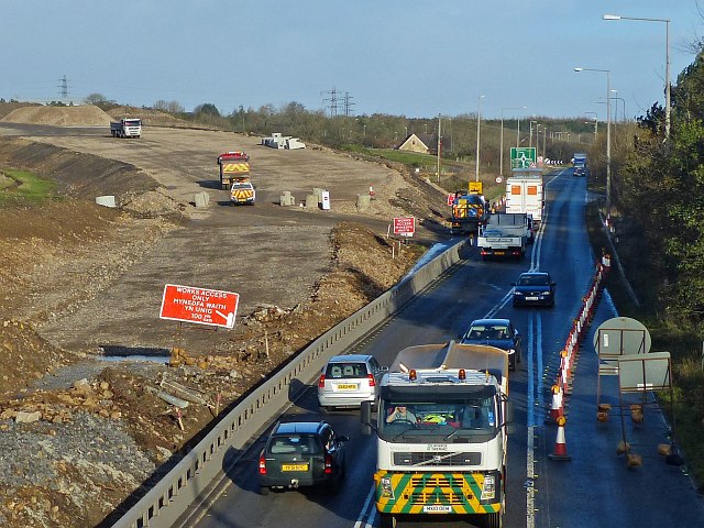
Image: © Robin Drayton Taken: 20 Nov 2013
Taken from the access bridge to Dukestown Cemetery, Tredegar. The new road will diverge to the north from the existing A465. The area is currently being filled with earth that is being compacted to form the foundation for the new road.
Images are licensed for reuse under creativecommons.org/licenses/by-sa/2.0
Image Location
Latitude
51.790543
Longitude
-3.250764