Alterations to numbers 36, 37 and 38 London Road
Introduction
The photograph on this page of Alterations to numbers 36, 37 and 38 London Road by John Baker as part of the Geograph project.
The Geograph project started in 2005 with the aim of publishing, organising and preserving representative images for every square kilometre of Great Britain, Ireland and the Isle of Man.

There are currently over 7.5m images from over 14,400 individuals and you can help contribute to the project by visiting https://www.geograph.org.uk
Alterations to numbers 36, 37 and 38 London Road
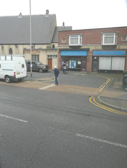
Image: © John Baker Taken: 8 Nov 2013
Planning permission has been granted by Dover District Council under application number DOV/13/00790 for “alterations to existing shop fronts and erection of a first floor extension to form a guest room and associated external alterations”. Subsequently it has become known as Image
Images are licensed for reuse under creativecommons.org/licenses/by-sa/2.0
Image Location
Latitude
51.131816
Longitude
1.304015