Former Limpley Stoke station, from across Avon Valley
Introduction
The photograph on this page of Former Limpley Stoke station, from across Avon Valley by Ben Brooksbank as part of the Geograph project.
The Geograph project started in 2005 with the aim of publishing, organising and preserving representative images for every square kilometre of Great Britain, Ireland and the Isle of Man.

There are currently over 7.5m images from over 14,400 individuals and you can help contribute to the project by visiting https://www.geograph.org.uk
Former Limpley Stoke station, from across Avon Valley
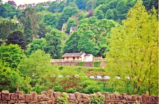
Image: © Ben Brooksbank Taken: 15 May 2001
View westward, the railway being the ex-GWR Bath (to right) - (to left) Westbury secondary main line. In spite of appearances, the station was closed from 3/10/66: it has been restored, as a restaurant.
Images are licensed for reuse under creativecommons.org/licenses/by-sa/2.0
Image Location
Latitude
51.349006
Longitude
-2.314408