Chessenden House, The Street
Introduction
The photograph on this page of Chessenden House, The Street by John Baker as part of the Geograph project.
The Geograph project started in 2005 with the aim of publishing, organising and preserving representative images for every square kilometre of Great Britain, Ireland and the Isle of Man.

There are currently over 7.5m images from over 14,400 individuals and you can help contribute to the project by visiting https://www.geograph.org.uk
Chessenden House, The Street
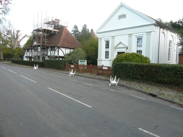
Image: © John Baker Taken: 3 Nov 2013
The scaffolding on the front of the house, reaching as far as the top of the chimney, seems to be part of the work referred to in Ashford Borough Council’s planning application 13/00922/AS, as the wording was “single storey rear extension, minor internal alterations, demolition of modern chimney”. I assume that the upside down chairs in the road outside the Zion chapel were to keep vehicles from parking there.
Images are licensed for reuse under creativecommons.org/licenses/by-sa/2.0
Image Location
Latitude
51.149799
Longitude
0.690499