Advance direction sign, Ballynabragget near Banbridge
Introduction
The photograph on this page of Advance direction sign, Ballynabragget near Banbridge by Albert Bridge as part of the Geograph project.
The Geograph project started in 2005 with the aim of publishing, organising and preserving representative images for every square kilometre of Great Britain, Ireland and the Isle of Man.

There are currently over 7.5m images from over 14,400 individuals and you can help contribute to the project by visiting https://www.geograph.org.uk
Advance direction sign, Ballynabragget near Banbridge
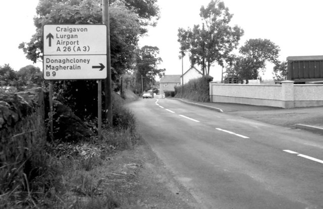
Image: © Albert Bridge Taken: 30 Jun 1979
This sign, on the Banbridge – Lurgan road, approaching the turn for Donaghacloney, had been a long-surviving “pre-Worboys”. When I finally got “around to it” I found that it had been replaced.
Images are licensed for reuse under creativecommons.org/licenses/by-sa/2.0
Image Location
Latitude
54.401731
Longitude
-6.280287