Public bridleway, south of Penlan Isaf
Introduction
The photograph on this page of Public bridleway, south of Penlan Isaf by Christine Johnstone as part of the Geograph project.
The Geograph project started in 2005 with the aim of publishing, organising and preserving representative images for every square kilometre of Great Britain, Ireland and the Isle of Man.

There are currently over 7.5m images from over 14,400 individuals and you can help contribute to the project by visiting https://www.geograph.org.uk
Public bridleway, south of Penlan Isaf
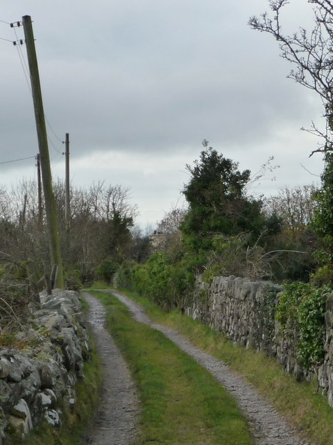
Image: © Christine Johnstone Taken: 17 Nov 2013
Running south-west to a six-way track and path junction south-east of Cae ciprys.
Images are licensed for reuse under creativecommons.org/licenses/by-sa/2.0
Image Location
Latitude
53.094263
Longitude
-4.261864