St Macartan School, Loughinisland
Introduction
The photograph on this page of St Macartan School, Loughinisland by Eric Jones as part of the Geograph project.
The Geograph project started in 2005 with the aim of publishing, organising and preserving representative images for every square kilometre of Great Britain, Ireland and the Isle of Man.

There are currently over 7.5m images from over 14,400 individuals and you can help contribute to the project by visiting https://www.geograph.org.uk
St Macartan School, Loughinisland
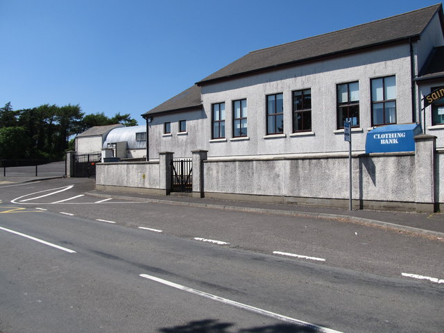
Image: © Eric Jones Taken: 9 Jun 2013
The partly tin-roofed building next to it is St Macartan's Parish Hall,
Images are licensed for reuse under creativecommons.org/licenses/by-sa/2.0
Image Location
Latitude
54.338314
Longitude
-5.819941