Path to Shawford Down from the car park
Introduction
The photograph on this page of Path to Shawford Down from the car park by Jim Champion as part of the Geograph project.
The Geograph project started in 2005 with the aim of publishing, organising and preserving representative images for every square kilometre of Great Britain, Ireland and the Isle of Man.

There are currently over 7.5m images from over 14,400 individuals and you can help contribute to the project by visiting https://www.geograph.org.uk
Path to Shawford Down from the car park
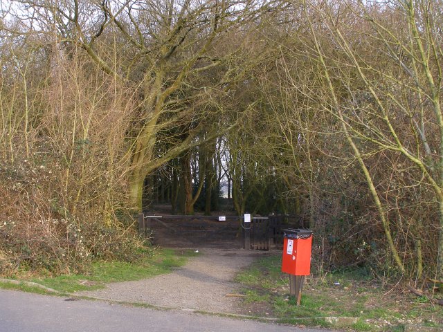
Image: © Jim Champion Taken: 10 Mar 2007
This path leads onto Shawford Down from the car park alongside the Roman road, just east of the M3 motorway. The notices on the gates describe the current work on the Down to make it suitable for grazing by sheep (fencing off some areas of scrub).
Images are licensed for reuse under creativecommons.org/licenses/by-sa/2.0
Image Location


Leaflet Map data © OpenStreetMap
Latitude
51.020767
Longitude
-1.334281