Footpath approaching Medstead
Introduction
The photograph on this page of Footpath approaching Medstead by Graham Horn as part of the Geograph project.
The Geograph project started in 2005 with the aim of publishing, organising and preserving representative images for every square kilometre of Great Britain, Ireland and the Isle of Man.

There are currently over 7.5m images from over 14,400 individuals and you can help contribute to the project by visiting https://www.geograph.org.uk
Footpath approaching Medstead
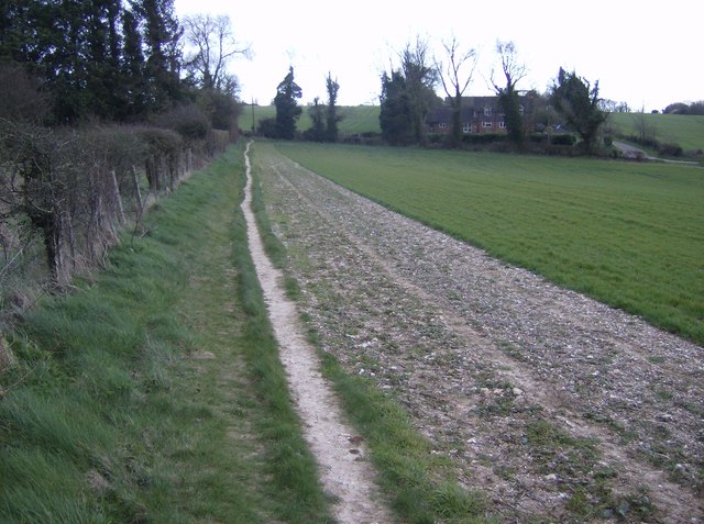
Image: © Graham Horn Taken: 18 Mar 2007
Just south from where the path splits (shown on the map), a typical field headland path. Most of the footpath and the building is in this square. The lane to the right leads to Croom's Hill in the next square.
Images are licensed for reuse under creativecommons.org/licenses/by-sa/2.0
Image Location
Latitude
51.12958
Longitude
-1.071337