Starrick Moor
Introduction
The photograph on this page of Starrick Moor by Tony Atkin as part of the Geograph project.
The Geograph project started in 2005 with the aim of publishing, organising and preserving representative images for every square kilometre of Great Britain, Ireland and the Isle of Man.

There are currently over 7.5m images from over 14,400 individuals and you can help contribute to the project by visiting https://www.geograph.org.uk
Starrick Moor
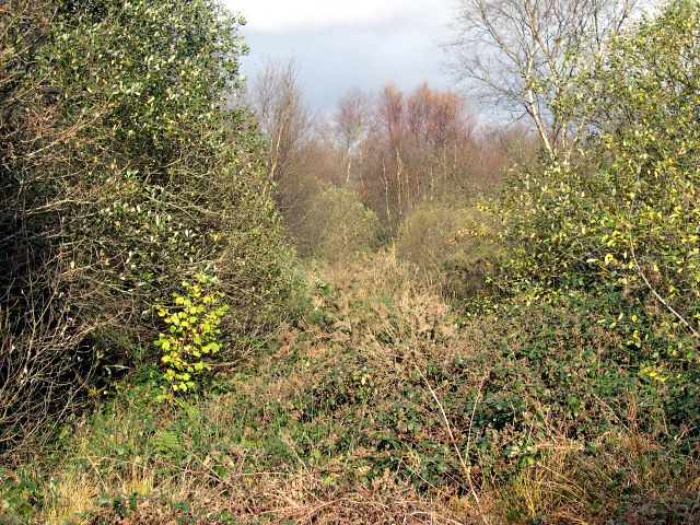
Image: © Tony Atkin Taken: 12 Nov 2005
Left more or less to its own devices, this area of wet valley bottom land ends up looking like this.
Images are licensed for reuse under creativecommons.org/licenses/by-sa/2.0
Image Location
Latitude
50.372922
Longitude
-4.752091