Trees, Manor Woods Valley
Introduction
The photograph on this page of Trees, Manor Woods Valley by Derek Harper as part of the Geograph project.
The Geograph project started in 2005 with the aim of publishing, organising and preserving representative images for every square kilometre of Great Britain, Ireland and the Isle of Man.

There are currently over 7.5m images from over 14,400 individuals and you can help contribute to the project by visiting https://www.geograph.org.uk
Trees, Manor Woods Valley
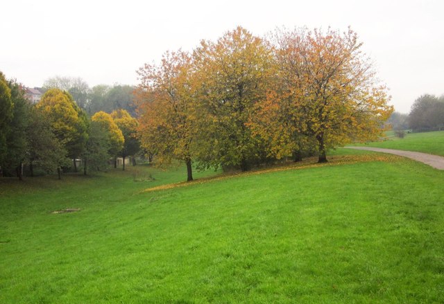
Image: © Derek Harper Taken: 16 Nov 2013
Trees that would be by The Malago, the stream that flows through the park, except that it is culverted here. Footpath BCC/501B is on the right.
Images are licensed for reuse under creativecommons.org/licenses/by-sa/2.0
Image Location
Latitude
51.423828
Longitude
-2.60832