The chapel of the former Eastry Hospital
Introduction
The photograph on this page of The chapel of the former Eastry Hospital by John Baker as part of the Geograph project.
The Geograph project started in 2005 with the aim of publishing, organising and preserving representative images for every square kilometre of Great Britain, Ireland and the Isle of Man.

There are currently over 7.5m images from over 14,400 individuals and you can help contribute to the project by visiting https://www.geograph.org.uk
The chapel of the former Eastry Hospital
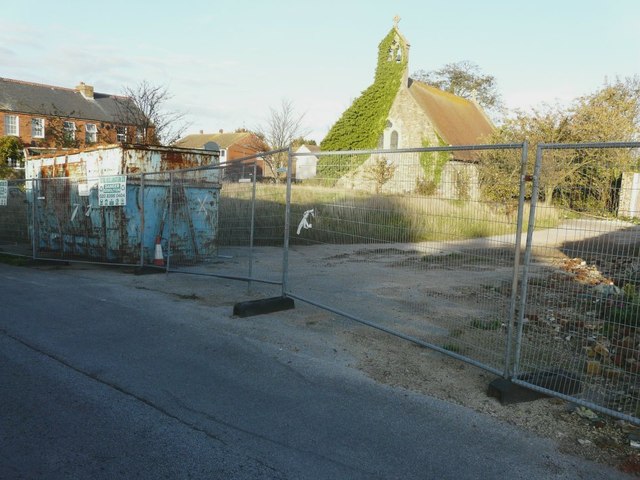
Image: © John Baker Taken: 30 Oct 2013
The site is being developed by Runnymede Investments http://www.runnymedehomes.co.uk/index.php
Images are licensed for reuse under creativecommons.org/licenses/by-sa/2.0
Image Location
Latitude
51.243634
Longitude
1.303716