Footpath to Katharine Lady Berkeley's School from Wotton-under-Edge
Introduction
The photograph on this page of Footpath to Katharine Lady Berkeley's School from Wotton-under-Edge by Jaggery as part of the Geograph project.
The Geograph project started in 2005 with the aim of publishing, organising and preserving representative images for every square kilometre of Great Britain, Ireland and the Isle of Man.

There are currently over 7.5m images from over 14,400 individuals and you can help contribute to the project by visiting https://www.geograph.org.uk
Footpath to Katharine Lady Berkeley's School from Wotton-under-Edge
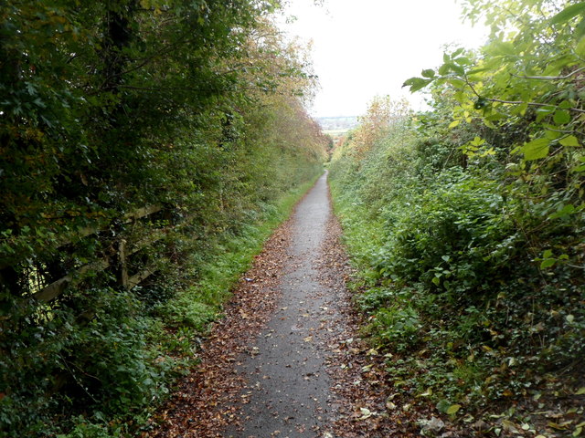
Image: © Jaggery Taken: 28 Oct 2012
The footpath provides a traffic-free route to the school from New Road. A nearby plaque records that the funds for this footpath were raised by the people of Wotton-under-Edge, their friends and Gloucestershire County Council. The footpath was completed in February 1993.
Images are licensed for reuse under creativecommons.org/licenses/by-sa/2.0
Image Location
Latitude
51.635075
Longitude
-2.360019