Main Street, Greyabbey
Introduction
The photograph on this page of Main Street, Greyabbey by Eric Jones as part of the Geograph project.
The Geograph project started in 2005 with the aim of publishing, organising and preserving representative images for every square kilometre of Great Britain, Ireland and the Isle of Man.

There are currently over 7.5m images from over 14,400 individuals and you can help contribute to the project by visiting https://www.geograph.org.uk
Main Street, Greyabbey
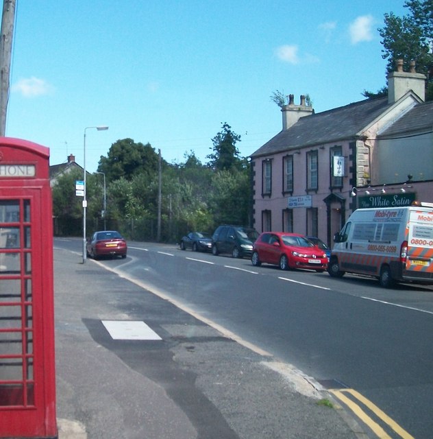
Image: © Eric Jones Taken: 2 Aug 2013
Greyabbey is a small village of some 1000 people, almost 90% of which are of a Protestant background, located on the north-east shores of Strangford Lough. http://en.wikipedia.org/wiki/Greyabbey
Images are licensed for reuse under creativecommons.org/licenses/by-sa/2.0
Image Location
Latitude
54.535428
Longitude
-5.559892