Bussocks Barn
Introduction
The photograph on this page of Bussocks Barn by Richard Mudhar as part of the Geograph project.
The Geograph project started in 2005 with the aim of publishing, organising and preserving representative images for every square kilometre of Great Britain, Ireland and the Isle of Man.

There are currently over 7.5m images from over 14,400 individuals and you can help contribute to the project by visiting https://www.geograph.org.uk
Bussocks Barn
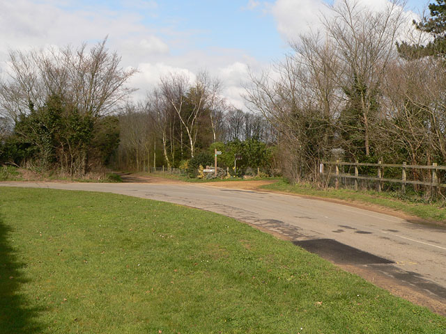
Image: © Richard Mudhar Taken: 23 Mar 2007
Bussocks Barn is the name on the plate below the footpath signpost at this right-angle bend in the road. A quaint name for what seems to be an unassuming farm shed tucked behind the trees.
Images are licensed for reuse under creativecommons.org/licenses/by-sa/2.0
Image Location
Latitude
52.04986
Longitude
1.406668