Cross-slacks
Introduction
The photograph on this page of Cross-slacks by Anne Burgess as part of the Geograph project.
The Geograph project started in 2005 with the aim of publishing, organising and preserving representative images for every square kilometre of Great Britain, Ireland and the Isle of Man.

There are currently over 7.5m images from over 14,400 individuals and you can help contribute to the project by visiting https://www.geograph.org.uk
Cross-slacks
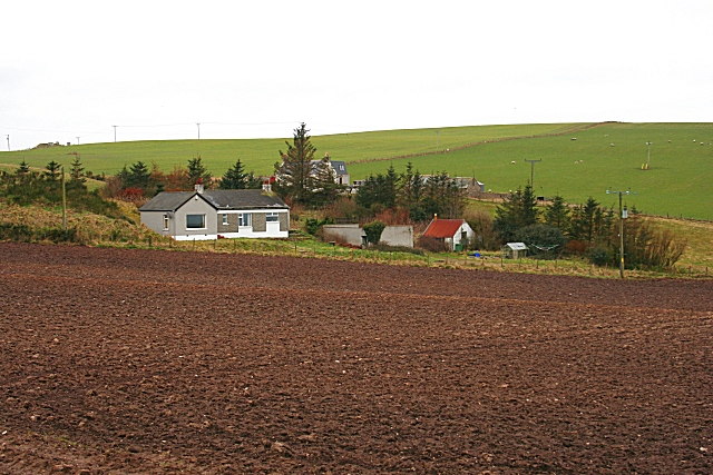
Image: © Anne Burgess Taken: 23 Mar 2007
There seem to be four buildings on the map at Cross-slacks. The nearest house is modern, but the red-roofed shed to the right may be an older cottage.
Images are licensed for reuse under creativecommons.org/licenses/by-sa/2.0
Image Location
Latitude
57.661607
Longitude
-2.323781