End of Victoria Street
Introduction
The photograph on this page of End of Victoria Street by Richard Dorrell as part of the Geograph project.
The Geograph project started in 2005 with the aim of publishing, organising and preserving representative images for every square kilometre of Great Britain, Ireland and the Isle of Man.

There are currently over 7.5m images from over 14,400 individuals and you can help contribute to the project by visiting https://www.geograph.org.uk
End of Victoria Street
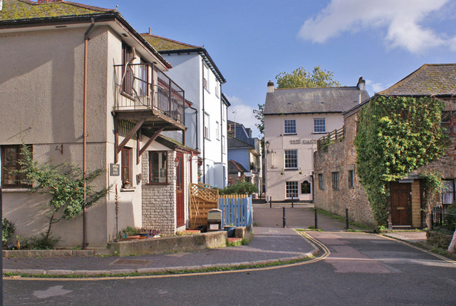
Image: © Richard Dorrell Taken: 5 Nov 2013
The road has been closed to vehicles, but there is pedestrian access to Warland.
Images are licensed for reuse under creativecommons.org/licenses/by-sa/2.0
Image Location


Leaflet Map data © OpenStreetMap
Latitude
50.429994
Longitude
-3.684119