Church Lane, Bickenhill
Introduction
The photograph on this page of Church Lane, Bickenhill by Richard Law as part of the Geograph project.
The Geograph project started in 2005 with the aim of publishing, organising and preserving representative images for every square kilometre of Great Britain, Ireland and the Isle of Man.

There are currently over 7.5m images from over 14,400 individuals and you can help contribute to the project by visiting https://www.geograph.org.uk
Church Lane, Bickenhill
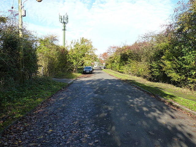
Image: © Richard Law Taken: 13 Nov 2013
A narrow lane leading north out of the village; it joins the A45 dual carriageway just beyond the parked car, but is narrowed at this end and marked with 'No Entry' signs to discourage vehicular use.
Images are licensed for reuse under creativecommons.org/licenses/by-sa/2.0
Image Location
Latitude
52.44418
Longitude
-1.718365