Detached houses in Abbots Walk development
Introduction
The photograph on this page of Detached houses in Abbots Walk development by Peter Facey as part of the Geograph project.
The Geograph project started in 2005 with the aim of publishing, organising and preserving representative images for every square kilometre of Great Britain, Ireland and the Isle of Man.

There are currently over 7.5m images from over 14,400 individuals and you can help contribute to the project by visiting https://www.geograph.org.uk
Detached houses in Abbots Walk development
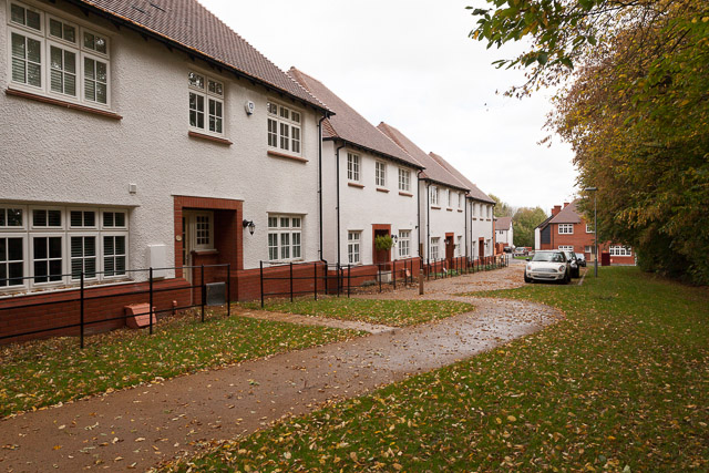
Image: © Peter Facey Taken: 3 Nov 2013
These houses are on the southern side of the development, separated from the pre-existing Francis Gardens by the greenery seen along the right edge of this photo. In the foreground the Buttercross 5-bedroom house, and beyond three Walmesley 4-bedroom houses. They have private gardens behind. They are not on any street, but accessed via the gravel-like path shown which I think is named Monks Walk.
Images are licensed for reuse under creativecommons.org/licenses/by-sa/2.0
Image Location
Latitude
51.077537
Longitude
-1.308343