Francis Way
Introduction
The photograph on this page of Francis Way by Peter Facey as part of the Geograph project.
The Geograph project started in 2005 with the aim of publishing, organising and preserving representative images for every square kilometre of Great Britain, Ireland and the Isle of Man.

There are currently over 7.5m images from over 14,400 individuals and you can help contribute to the project by visiting https://www.geograph.org.uk
Francis Way
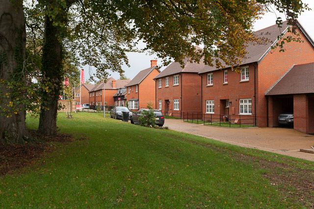
Image: © Peter Facey Taken: 3 Nov 2013
This line of houses is immediately on the right as you enter Cassandra Road. It lies parallel to Worthy Road but is separated from it by a wall and the greenery seen on the left of this photo.
Images are licensed for reuse under creativecommons.org/licenses/by-sa/2.0
Image Location
Latitude
51.077989
Longitude
-1.308764