Cassandra Road
Introduction
The photograph on this page of Cassandra Road by Peter Facey as part of the Geograph project.
The Geograph project started in 2005 with the aim of publishing, organising and preserving representative images for every square kilometre of Great Britain, Ireland and the Isle of Man.

There are currently over 7.5m images from over 14,400 individuals and you can help contribute to the project by visiting https://www.geograph.org.uk
Cassandra Road
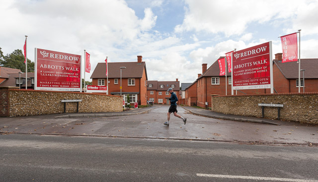
Image: © Peter Facey Taken: 3 Nov 2013
Looking across the B3047 Worthy Road at the main entrance to this new housing development.
Images are licensed for reuse under creativecommons.org/licenses/by-sa/2.0
Image Location
Latitude
51.078079
Longitude
-1.308763