The Plains, Totnes
Introduction
The photograph on this page of The Plains, Totnes by Richard Dorrell as part of the Geograph project.
The Geograph project started in 2005 with the aim of publishing, organising and preserving representative images for every square kilometre of Great Britain, Ireland and the Isle of Man.

There are currently over 7.5m images from over 14,400 individuals and you can help contribute to the project by visiting https://www.geograph.org.uk
The Plains, Totnes
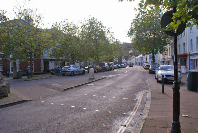
Image: © Richard Dorrell Taken: 5 Nov 2013
Looking south from close to the junction with Fore Street.
Images are licensed for reuse under creativecommons.org/licenses/by-sa/2.0
Image Location
Latitude
50.430186
Longitude
-3.683281