Footpath to Roseacre
Introduction
The photograph on this page of Footpath to Roseacre by Marathon as part of the Geograph project.
The Geograph project started in 2005 with the aim of publishing, organising and preserving representative images for every square kilometre of Great Britain, Ireland and the Isle of Man.

There are currently over 7.5m images from over 14,400 individuals and you can help contribute to the project by visiting https://www.geograph.org.uk
Footpath to Roseacre
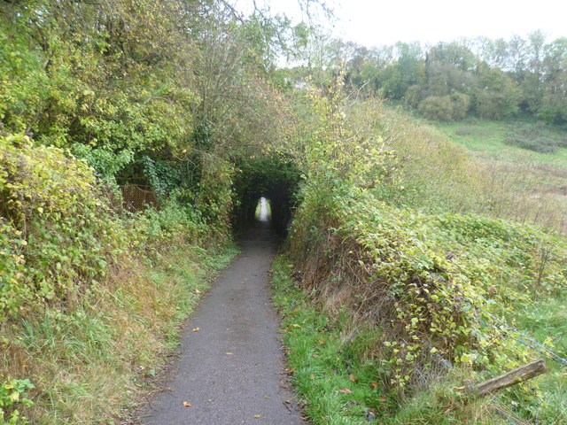
Image: © Marathon Taken: 12 Nov 2013
A footpath from Weavering Street crosses the railway line between Maidstone East and Bearsted, then drops down into this valley, and uphill on the other side to Roseacre.
Images are licensed for reuse under creativecommons.org/licenses/by-sa/2.0
Image Location
Latitude
51.273034
Longitude
0.56148