Development site, Ormeau Embankment, Belfast (1)
Introduction
The photograph on this page of Development site, Ormeau Embankment, Belfast (1) by Albert Bridge as part of the Geograph project.
The Geograph project started in 2005 with the aim of publishing, organising and preserving representative images for every square kilometre of Great Britain, Ireland and the Isle of Man.

There are currently over 7.5m images from over 14,400 individuals and you can help contribute to the project by visiting https://www.geograph.org.uk
Development site, Ormeau Embankment, Belfast (1)
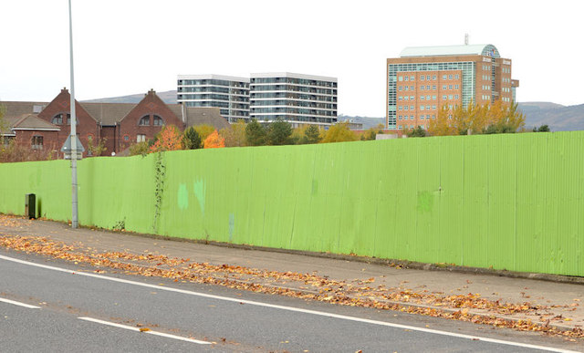
Image: © Albert Bridge Taken: 16 Nov 2013
A development site, between the existing Ravenhill Reach apartments and here Image The agents’ description includes “Site Area c. 1.92 acres . . . . . Interested parties must make their own planning enquiries. The site has no specific designation in the draft Belfast Metropolitan Area Plan 2015 however there may be some issues relating to residential development of the whole of the subject”. The “for sale” board is now marked “SOLD”. This photograph appears as a matter of geographical and historical record only. I have no connection with any of the parties involved in the sale. Image shows the site from the west.
Images are licensed for reuse under creativecommons.org/licenses/by-sa/2.0
Image Location
Latitude
54.59121
Longitude
-5.914292