National Cycle Route 78
Introduction
The photograph on this page of National Cycle Route 78 by don cload as part of the Geograph project.
The Geograph project started in 2005 with the aim of publishing, organising and preserving representative images for every square kilometre of Great Britain, Ireland and the Isle of Man.

There are currently over 7.5m images from over 14,400 individuals and you can help contribute to the project by visiting https://www.geograph.org.uk
National Cycle Route 78
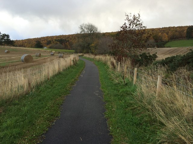
Image: © don cload Taken: 11 Nov 2013
This is a new link to National Cycle Route 78 not yet shown on the Ordnance Survey map.
Images are licensed for reuse under creativecommons.org/licenses/by-sa/2.0
Image Location


Leaflet Map data © OpenStreetMap
Latitude
57.397544
Longitude
-4.317537