Rickamore Road Upper.
Introduction
The photograph on this page of Rickamore Road Upper. by Robert Ashby as part of the Geograph project.
The Geograph project started in 2005 with the aim of publishing, organising and preserving representative images for every square kilometre of Great Britain, Ireland and the Isle of Man.

There are currently over 7.5m images from over 14,400 individuals and you can help contribute to the project by visiting https://www.geograph.org.uk
Rickamore Road Upper.
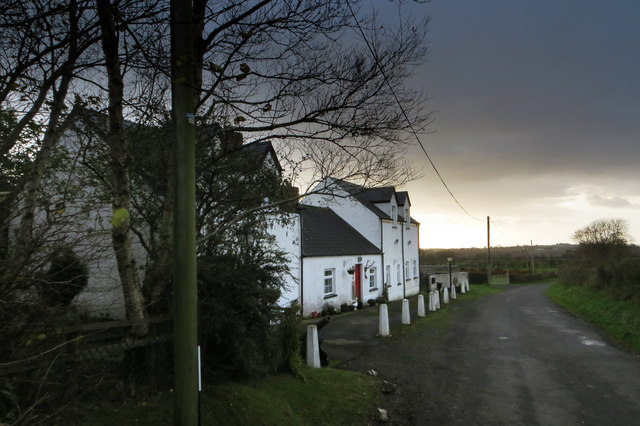
Image: © Robert Ashby Taken: 14 Nov 2013
An attractive farmhouse against a backdrop of stormy autumn skies. Near Templepatrick.
Images are licensed for reuse under creativecommons.org/licenses/by-sa/2.0
Image Location
Latitude
54.684343
Longitude
-6.108788