Cottages at Strathanmore
Introduction
The photograph on this page of Cottages at Strathanmore by jeff collins as part of the Geograph project.
The Geograph project started in 2005 with the aim of publishing, organising and preserving representative images for every square kilometre of Great Britain, Ireland and the Isle of Man.

There are currently over 7.5m images from over 14,400 individuals and you can help contribute to the project by visiting https://www.geograph.org.uk
Cottages at Strathanmore
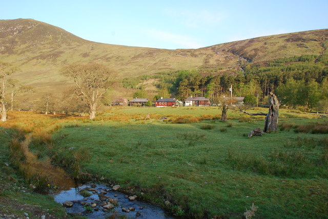
Image: © jeff collins Taken: 24 May 2012
The small burn in the foreground joins the river Meig directly behind my position. The hill in the left background out of square is part of Creag Ruadh.
Images are licensed for reuse under creativecommons.org/licenses/by-sa/2.0
Image Location
Latitude
57.548172
Longitude
-4.851438