Craigannet
Introduction
The photograph on this page of Craigannet by Richard Webb as part of the Geograph project.
The Geograph project started in 2005 with the aim of publishing, organising and preserving representative images for every square kilometre of Great Britain, Ireland and the Isle of Man.

There are currently over 7.5m images from over 14,400 individuals and you can help contribute to the project by visiting https://www.geograph.org.uk
Craigannet
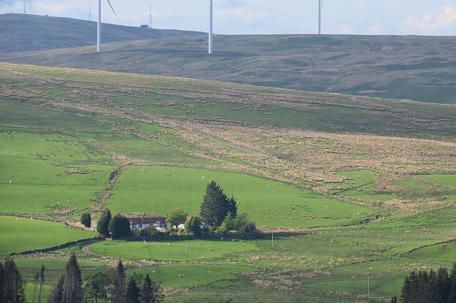
Image: © Richard Webb Taken: 30 May 2013
Farm by the Carron Valley Reservoir, as seen from within the forest.
Images are licensed for reuse under creativecommons.org/licenses/by-sa/2.0
Image Location


Leaflet Map data © OpenStreetMap
Latitude
56.032586
Longitude
-4.058643