Tenter Garth, Throckley
Introduction
The photograph on this page of Tenter Garth, Throckley by Andrew Curtis as part of the Geograph project.
The Geograph project started in 2005 with the aim of publishing, organising and preserving representative images for every square kilometre of Great Britain, Ireland and the Isle of Man.

There are currently over 7.5m images from over 14,400 individuals and you can help contribute to the project by visiting https://www.geograph.org.uk
Tenter Garth, Throckley
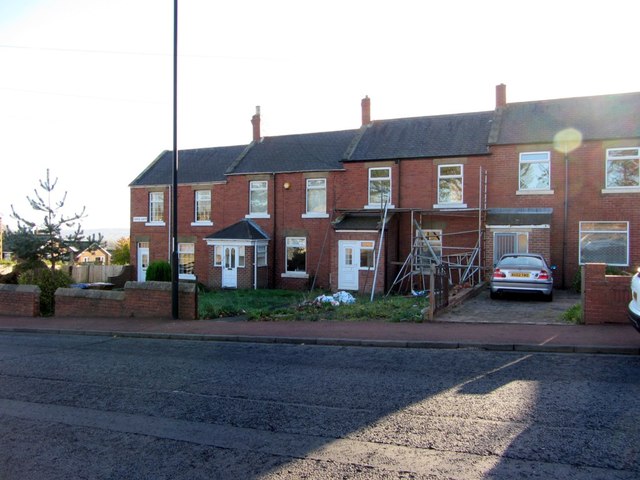
Image: © Andrew Curtis Taken: 14 Nov 2013
Tenter Garth was the name of a field in this location before houses were built along the Hexham Road. 'Tenter' refers to frames used by clothiers to stretch and dry cloth. The cloth was fastened to the frame by hooks which is the origin of the term 'tenterhooks', an expression of suspense, first used in the C15th.
Images are licensed for reuse under creativecommons.org/licenses/by-sa/2.0
Image Location
Latitude
54.995821
Longitude
-1.763479