Chelmer and Blackwater Navigation at Heybridge
Introduction
The photograph on this page of Chelmer and Blackwater Navigation at Heybridge by Trevor Harris as part of the Geograph project.
The Geograph project started in 2005 with the aim of publishing, organising and preserving representative images for every square kilometre of Great Britain, Ireland and the Isle of Man.

There are currently over 7.5m images from over 14,400 individuals and you can help contribute to the project by visiting https://www.geograph.org.uk
Chelmer and Blackwater Navigation at Heybridge
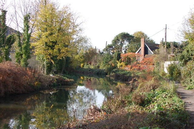
Image: © Trevor Harris Taken: 13 Nov 2013
A bend in the canal as it passes by Heybridge.
Images are licensed for reuse under creativecommons.org/licenses/by-sa/2.0
Image Location
Latitude
51.741984
Longitude
0.684986