Ploughed field and pylon
Introduction
The photograph on this page of Ploughed field and pylon by Robin Webster as part of the Geograph project.
The Geograph project started in 2005 with the aim of publishing, organising and preserving representative images for every square kilometre of Great Britain, Ireland and the Isle of Man.

There are currently over 7.5m images from over 14,400 individuals and you can help contribute to the project by visiting https://www.geograph.org.uk
Ploughed field and pylon
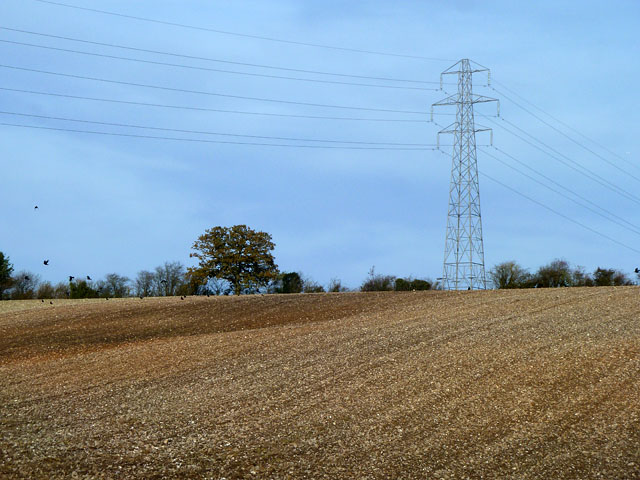
Image: © Robin Webster Taken: 13 Nov 2013
North of Mary Lane. According to the map, some old pits should be visible in the field. They seemed to be ploughed out, perhaps where the darker area of soil is.
Images are licensed for reuse under creativecommons.org/licenses/by-sa/2.0
Image Location
Latitude
51.100956
Longitude
-1.013068