Langley (Bucks.) station: Up the Relief lines, 1999
Introduction
The photograph on this page of Langley (Bucks.) station: Up the Relief lines, 1999 by Ben Brooksbank as part of the Geograph project.
The Geograph project started in 2005 with the aim of publishing, organising and preserving representative images for every square kilometre of Great Britain, Ireland and the Isle of Man.

There are currently over 7.5m images from over 14,400 individuals and you can help contribute to the project by visiting https://www.geograph.org.uk
Langley (Bucks.) station: Up the Relief lines, 1999
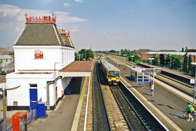
Image: © Ben Brooksbank Taken: 1 Aug 1999
View eastward, towards Southall and London: ex-GWR Paddington - Reading and the West main lines. A Down Thames Trains class 168 is arriving on a stopping service.
Images are licensed for reuse under creativecommons.org/licenses/by-sa/2.0
Image Location
Latitude
51.507884
Longitude
-0.54205