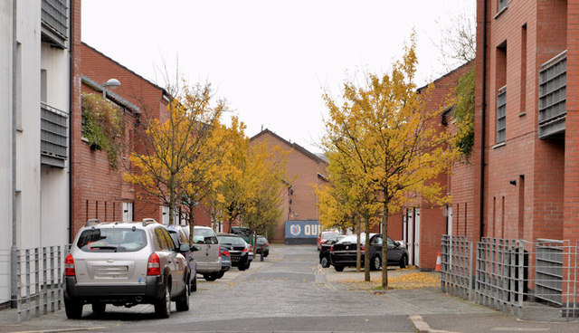
Paxton Street, Belfast (1)
Introduction
The photograph on this page of Paxton Street, Belfast (1) by Albert Bridge as part of the Geograph project.
The Geograph project started in 2005 with the aim of publishing, organising and preserving representative images for every square kilometre of Great Britain, Ireland and the Isle of Man.
There are currently over 7.5m images from over 14,400 individuals and you can help contribute to the project by visiting https://www.geograph.org.uk

Image: © Albert Bridge Taken: 13 Nov 2013
The 1877 street directory shows Paxton Street, with 20 odd-numbered houses, running off Templemore Park but there is no Templemore Park shown as a street in its own right. The 1901 edition shows it, with 62 houses, running from Castlereagh Street, via Templemore Avenue, to Lord Street. Templemore Avenue is shown with only five houses in 1877. The 6 inch map (undated) on the OSI site shows the general area as fields with a few mills. There is a James Kelly Image shown as living at no 21 in 1877. This photograph, from Templemore Avenue, shows the rebuilt part between it and Lord Street. Image shows the view from Castlereagh Street.

