Lewenshope Farm
Introduction
The photograph on this page of Lewenshope Farm by Walter Baxter as part of the Geograph project.
The Geograph project started in 2005 with the aim of publishing, organising and preserving representative images for every square kilometre of Great Britain, Ireland and the Isle of Man.

There are currently over 7.5m images from over 14,400 individuals and you can help contribute to the project by visiting https://www.geograph.org.uk
Lewenshope Farm
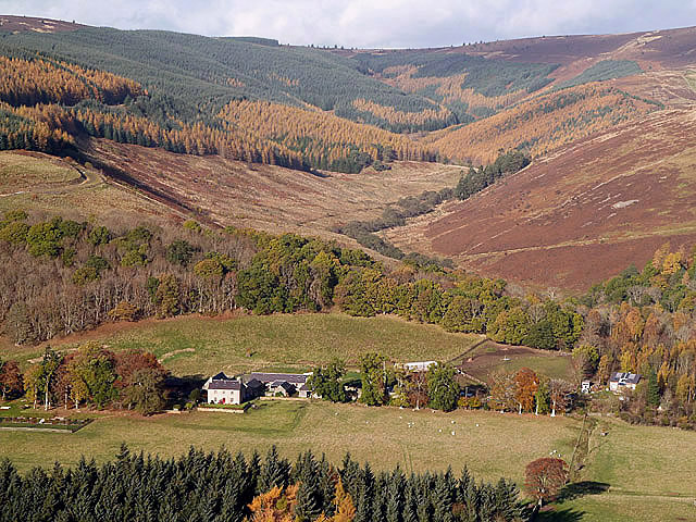
Image: © Walter Baxter Taken: 12 Nov 2013
This view of the farm with Lewenshope Rig on the left and Hangingshaw Brae on the right was taken from a forestry road in Black Andrew Wood.
Images are licensed for reuse under creativecommons.org/licenses/by-sa/2.0
Image Location


Leaflet Map data © OpenStreetMap
Latitude
55.559191
Longitude
-2.961026