Upper Tetchwick Farm
Introduction
The photograph on this page of Upper Tetchwick Farm by Paul Derwent as part of the Geograph project.
The Geograph project started in 2005 with the aim of publishing, organising and preserving representative images for every square kilometre of Great Britain, Ireland and the Isle of Man.

There are currently over 7.5m images from over 14,400 individuals and you can help contribute to the project by visiting https://www.geograph.org.uk
Upper Tetchwick Farm
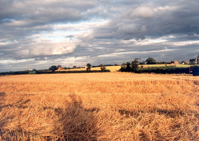
Image: © Paul Derwent Taken: 29 Aug 2002
Making hay whilst the sun shines at Upper Tetchwick Farm. Looking east
Images are licensed for reuse under creativecommons.org/licenses/by-sa/2.0
Image Location
Latitude
51.86729
Longitude
-1.008734