Uniondale Street, Belfast
Introduction
The photograph on this page of Uniondale Street, Belfast by Albert Bridge as part of the Geograph project.
The Geograph project started in 2005 with the aim of publishing, organising and preserving representative images for every square kilometre of Great Britain, Ireland and the Isle of Man.

There are currently over 7.5m images from over 14,400 individuals and you can help contribute to the project by visiting https://www.geograph.org.uk
Uniondale Street, Belfast
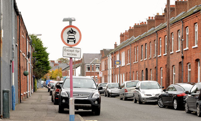
Image: © Albert Bridge Taken: 13 Nov 2013
A still-intact street of terrace houses, built before 1901, running from Bloomfield Avenue to Ravenscroft Avenue (background). There was once a Ravenscroft National School, at the end of the row on the left, which seems to have closed before WWII. The site is now a nursery.
Images are licensed for reuse under creativecommons.org/licenses/by-sa/2.0
Image Location
Latitude
54.595512
Longitude
-5.887766