Thorpe End, Melton Mowbray
Introduction
The photograph on this page of Thorpe End, Melton Mowbray by Dave Hitchborne as part of the Geograph project.
The Geograph project started in 2005 with the aim of publishing, organising and preserving representative images for every square kilometre of Great Britain, Ireland and the Isle of Man.

There are currently over 7.5m images from over 14,400 individuals and you can help contribute to the project by visiting https://www.geograph.org.uk
Thorpe End, Melton Mowbray
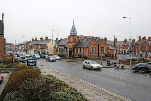
Image: © Dave Hitchborne Taken: 19 Feb 2011
Melton Carnegie Museum, built in 1905 - permanent displays, interactive areas and seasonal exhibitions on all aspects of local history.
Images are licensed for reuse under creativecommons.org/licenses/by-sa/2.0
Image Location


Leaflet Map data © OpenStreetMap
Latitude
52.764581
Longitude
-0.881184