Open land between Wickham Lane and Bostall Woods
Introduction
The photograph on this page of Open land between Wickham Lane and Bostall Woods by Stephen Craven as part of the Geograph project.
The Geograph project started in 2005 with the aim of publishing, organising and preserving representative images for every square kilometre of Great Britain, Ireland and the Isle of Man.

There are currently over 7.5m images from over 14,400 individuals and you can help contribute to the project by visiting https://www.geograph.org.uk
Open land between Wickham Lane and Bostall Woods
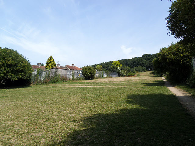
Image: © Stephen Craven Taken: 14 Jul 2013
The path to the right of the photo is part of the Green Chain Walk.
Images are licensed for reuse under creativecommons.org/licenses/by-sa/2.0
Image Location
Latitude
51.481904
Longitude
0.103052