Bristol Road Lower
Introduction
The photograph on this page of Bristol Road Lower by Neil Owen as part of the Geograph project.
The Geograph project started in 2005 with the aim of publishing, organising and preserving representative images for every square kilometre of Great Britain, Ireland and the Isle of Man.

There are currently over 7.5m images from over 14,400 individuals and you can help contribute to the project by visiting https://www.geograph.org.uk
Bristol Road Lower
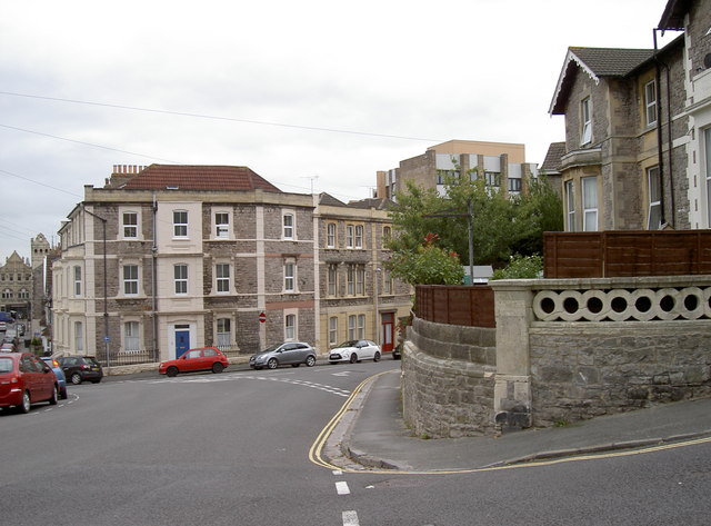
Image: © Neil Owen Taken: 20 Sep 2013
Looking down the slope towards the college (to the right on the horizon). A benchmark is revealed on the stone pier below the wooden fencing - see Image
Images are licensed for reuse under creativecommons.org/licenses/by-sa/2.0
Image Location
Latitude
51.351554
Longitude
-2.977416