Pentreguinea Road, Swansea
Introduction
The photograph on this page of Pentreguinea Road, Swansea by Jaggery as part of the Geograph project.
The Geograph project started in 2005 with the aim of publishing, organising and preserving representative images for every square kilometre of Great Britain, Ireland and the Isle of Man.

There are currently over 7.5m images from over 14,400 individuals and you can help contribute to the project by visiting https://www.geograph.org.uk
Pentreguinea Road, Swansea
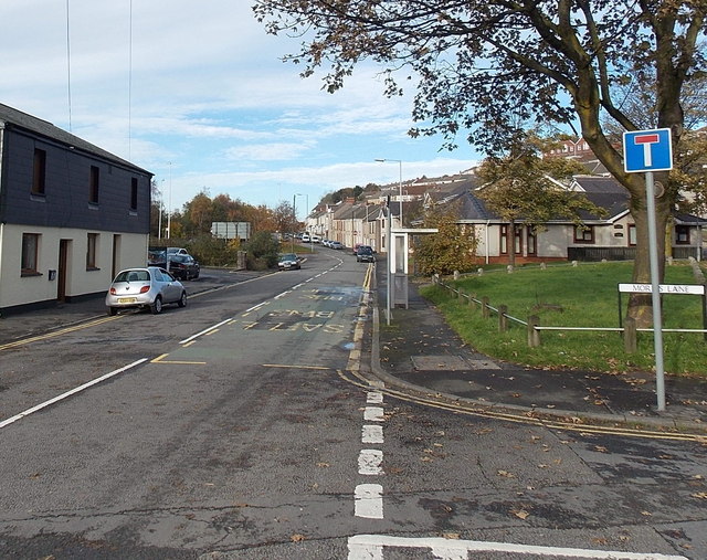
Image: © Jaggery Taken: 10 Nov 2013
Pentreguinea Road heads NNW away from Delhi Street past The Ship http://www.geograph.org.uk/photo/3741420 on the left. The Morris Lane junction is on the right.
Images are licensed for reuse under creativecommons.org/licenses/by-sa/2.0
Image Location
Latitude
51.623745
Longitude
-3.933685